Aerial Survey of Reservoir & Chaurjahari Settlement using Satellite, Drone & Remote Sensing
Bheri 4 Storage Hydroelectric Project (300 MW)
OngoingResearch ConsultingClimate Change
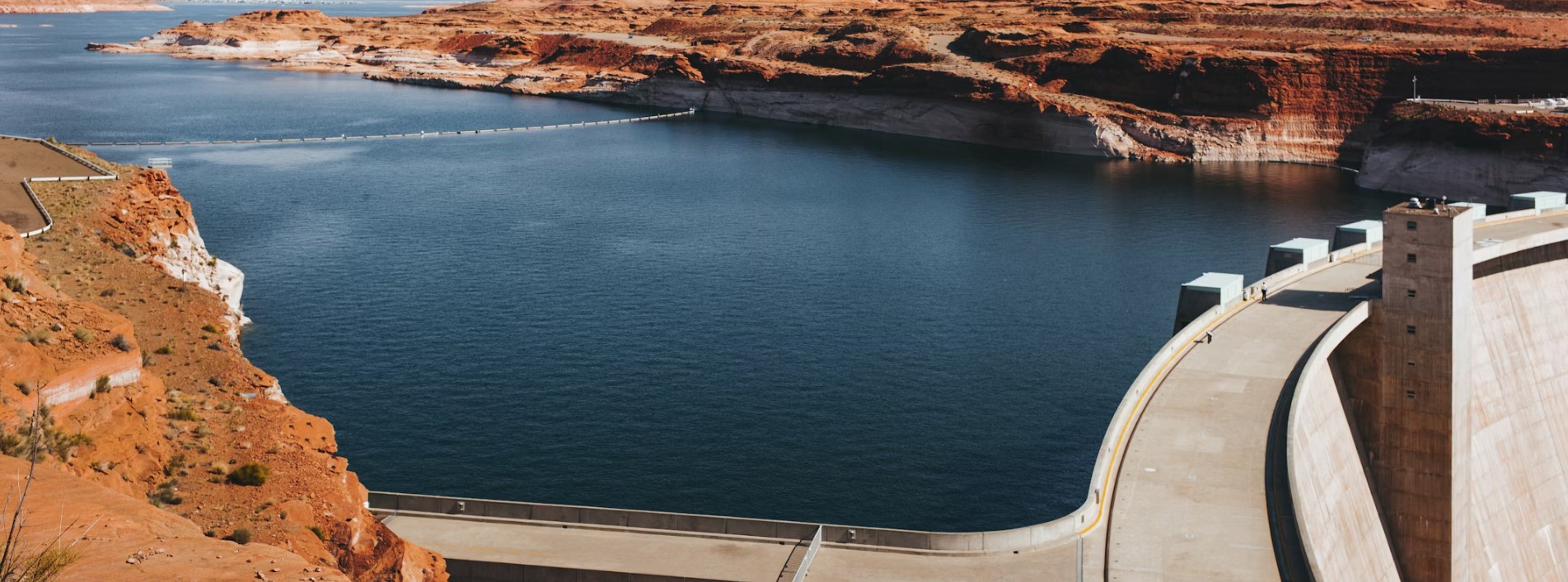
Aerial Survey of Reservoir & Chaurjahari Settlement using Satellite, Drone & Remote SensingTaplejung, Terhathum, Jhapa, Rautahat, Bara, Sarlahi, Kapilbastu
Project Information
Client
Bheri Energy Company Pvt. Ltd.
Private Developer
Source of Fund
Private Sector
Geography
Province
KoshiMadheshLumbini
Region
HillyTerai
Districts (7)· 5 Terai
TaplejungTerhathumJhapaRautahatBaraSarlahiKapilbastu
Duration
Dec 2019 – Jun 2020
Dec 2019100%Jun 2020
5*5
DEM resolution
1:5000
Map scale- reservoir and Chaurjahari area
Related Projects

About the Project
The Bheri 4 Storage Hydroelectric Project is a 300 MW hydropower scheme harnessing the combined catchment of the Bheri River and Chheda River in Karnali Province, western Nepal, with a design discharge of 275 m³/s across Surkhet, Salyan, Jajarkot and Rukum West districts.
What We Did
Hydrological modelling & flood forecasting system
SWAT and HEC-HMS ensemble models for 14 sub-catchments; 24-hour lead-time flood forecasting for 6 key gauge stations across the basin.
Have a similar project?
Contact our team to discuss how we can help deliver impactful results.