Surveys & Investigations
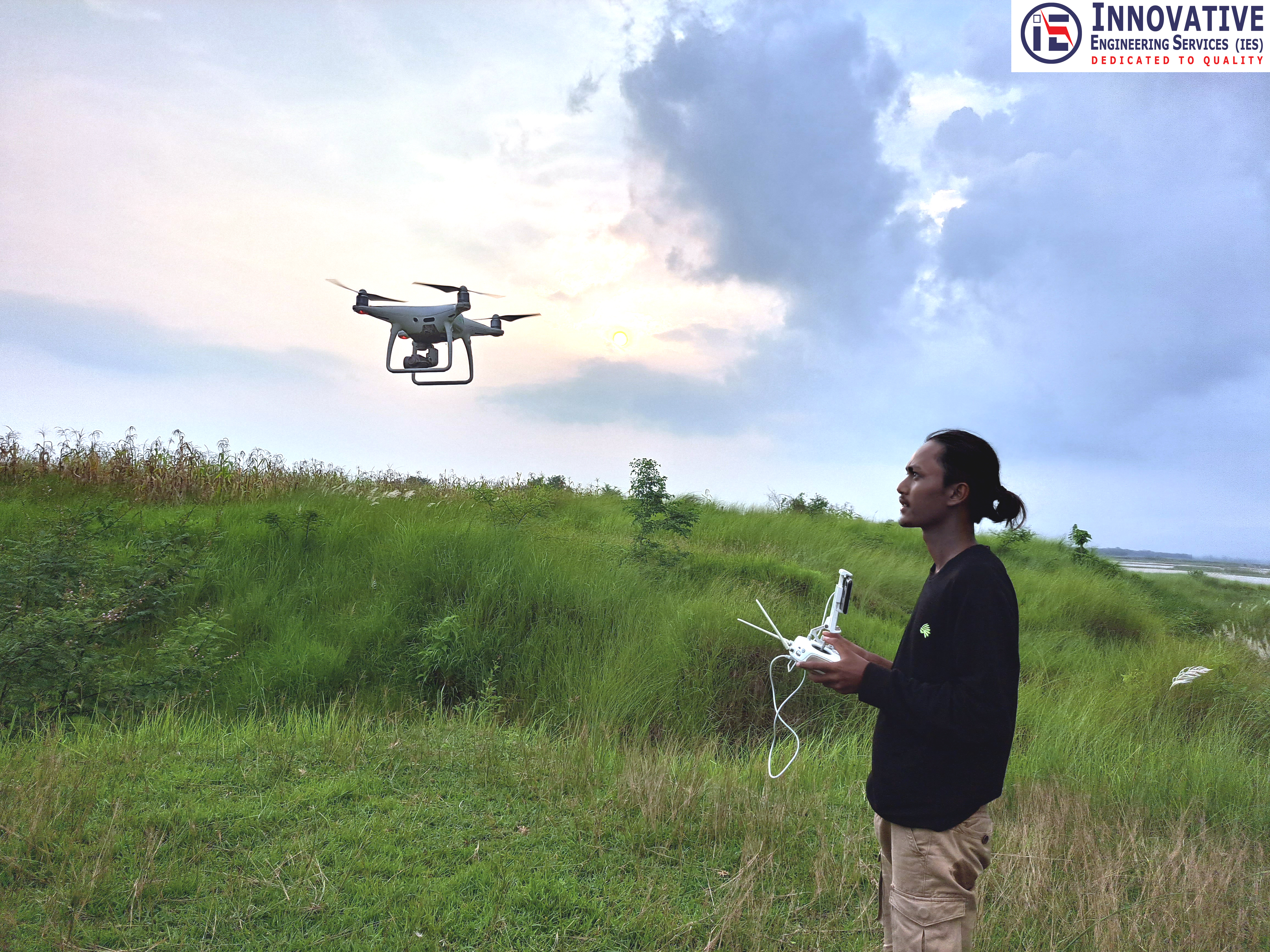
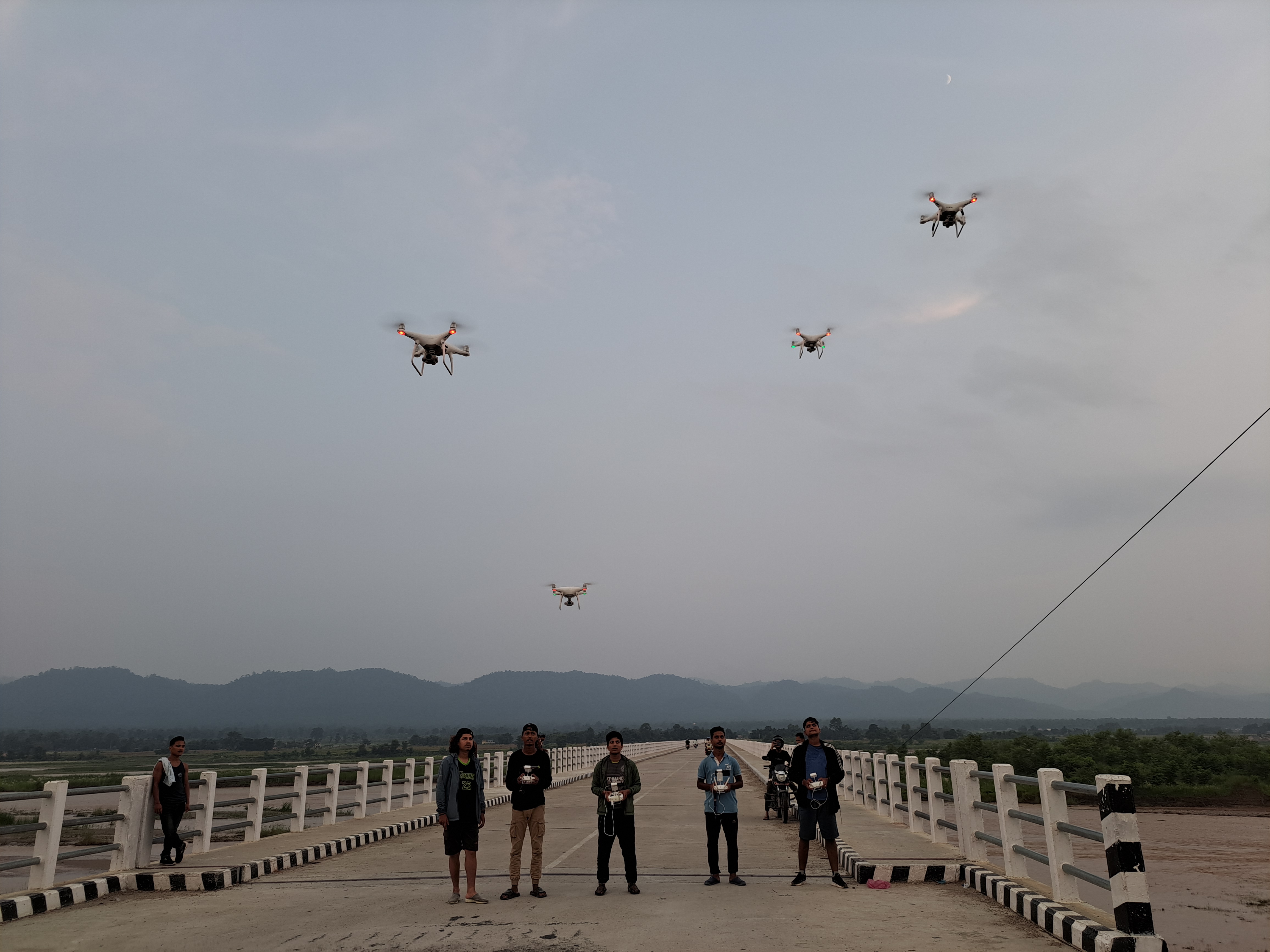
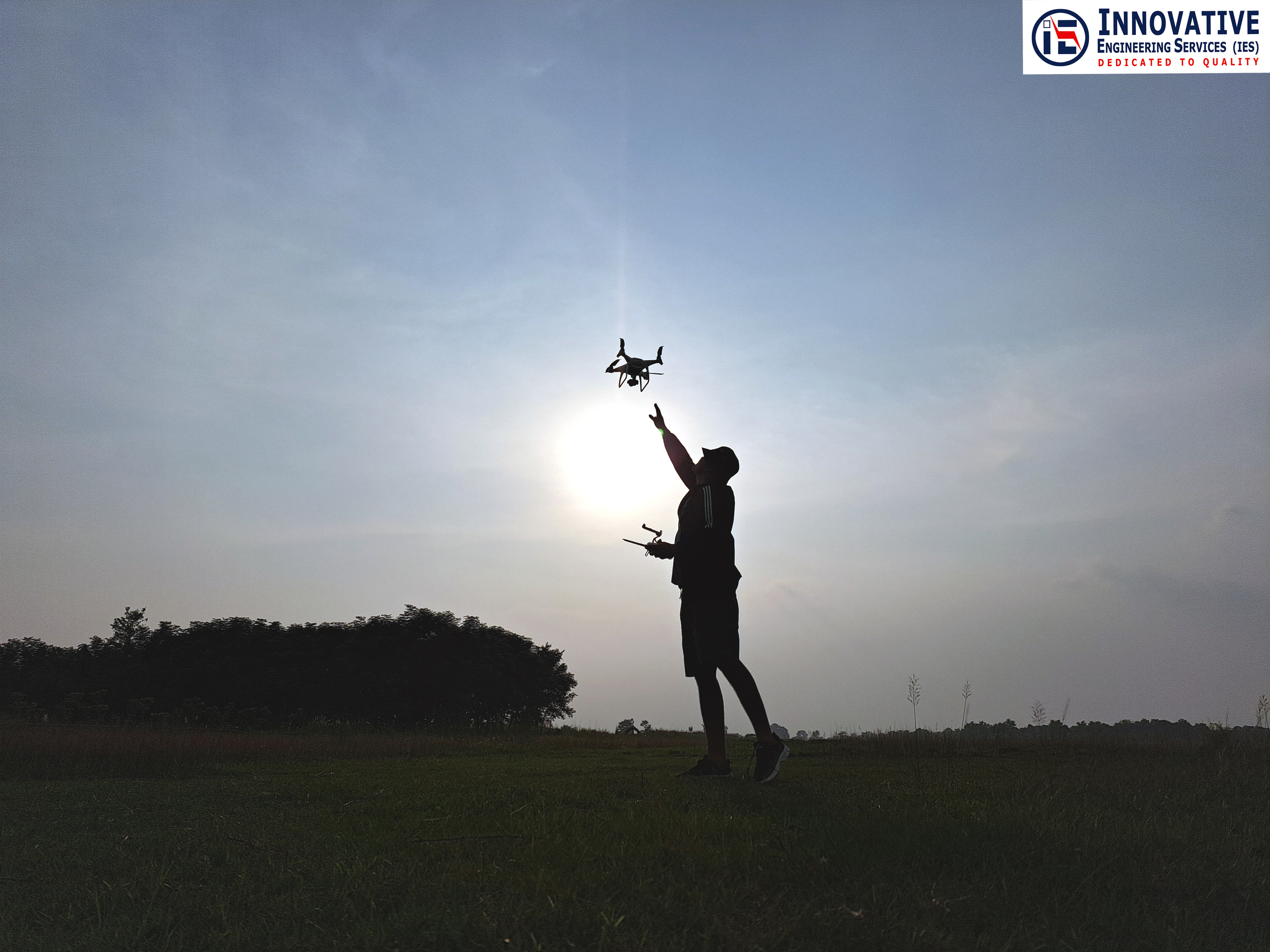
Aerial Survey (Drone & LiDAR)
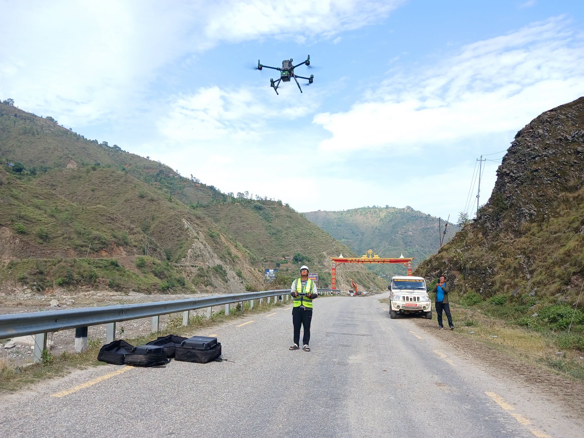
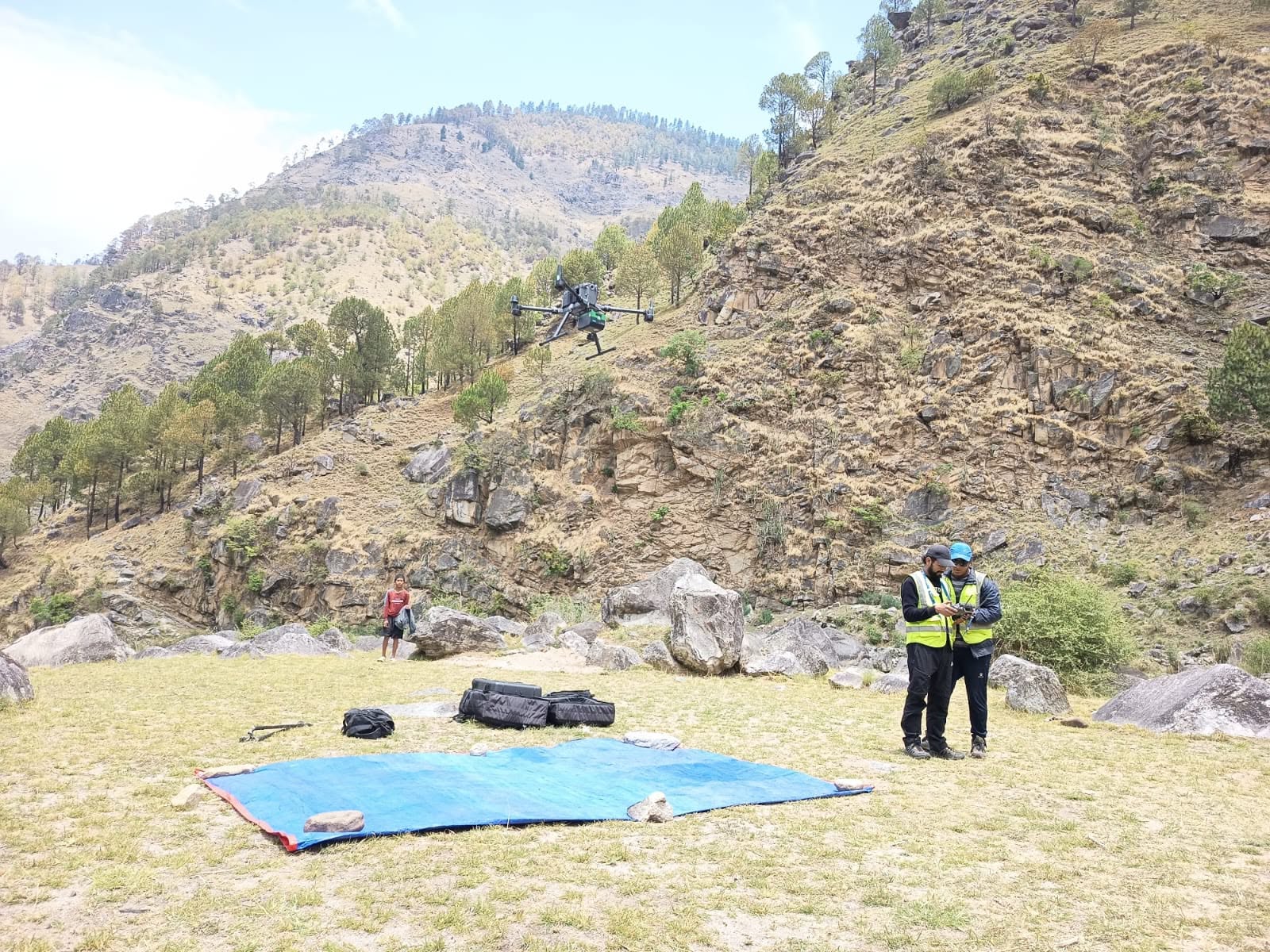
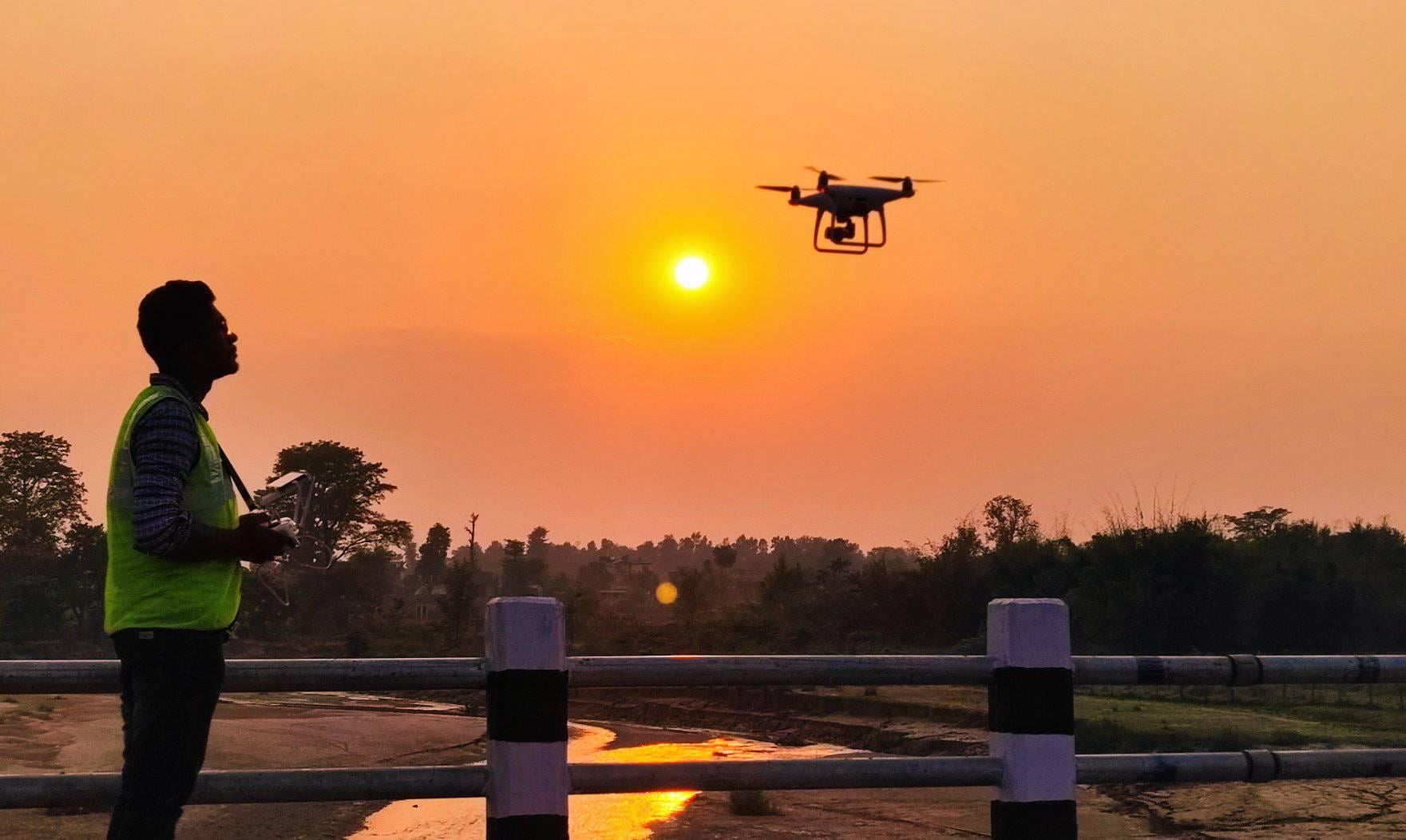
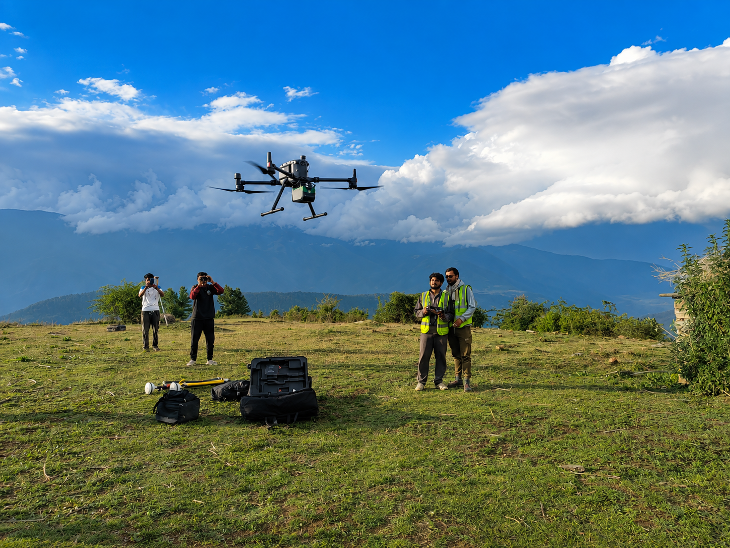
Acquiring ultra-high-resolution 3D point cloud data and digital terrain models using drone-mounted LiDAR and photogrammetric systems- enabling precise bare-earth surface modelling, vegetation canopy analysis and change detection for flood mapping, infrastructure survey and natural resource assessment across complex terrain.
Related Photographs
Scroll to see more
Interested in Aerial Survey (Drone & LiDAR)?
Tell us about your technical challenge — we will respond within 48 hours.
Get in touch
info@ies.com.np · +977-1-5269776