Surveys & Investigations
Bathymetric Survey
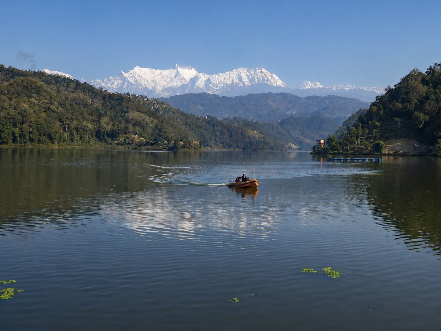
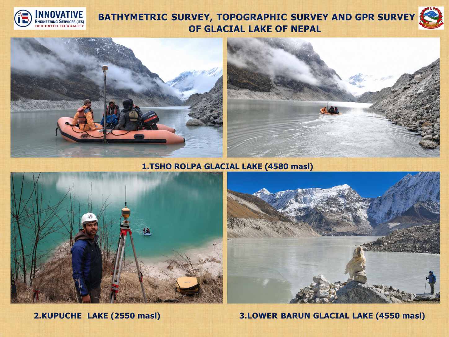
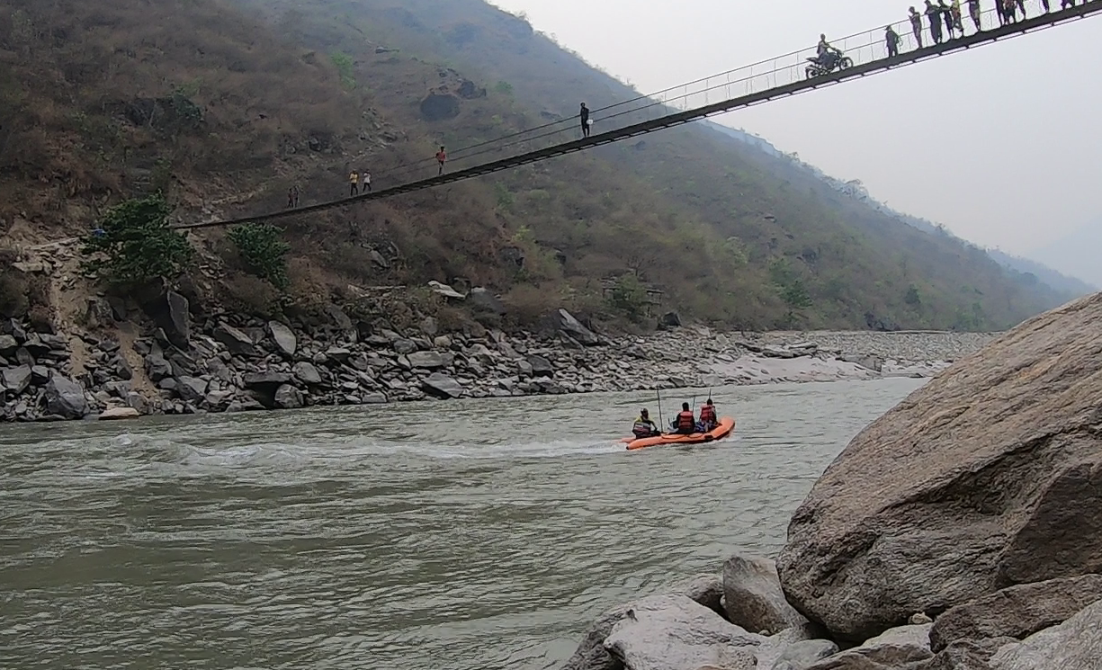
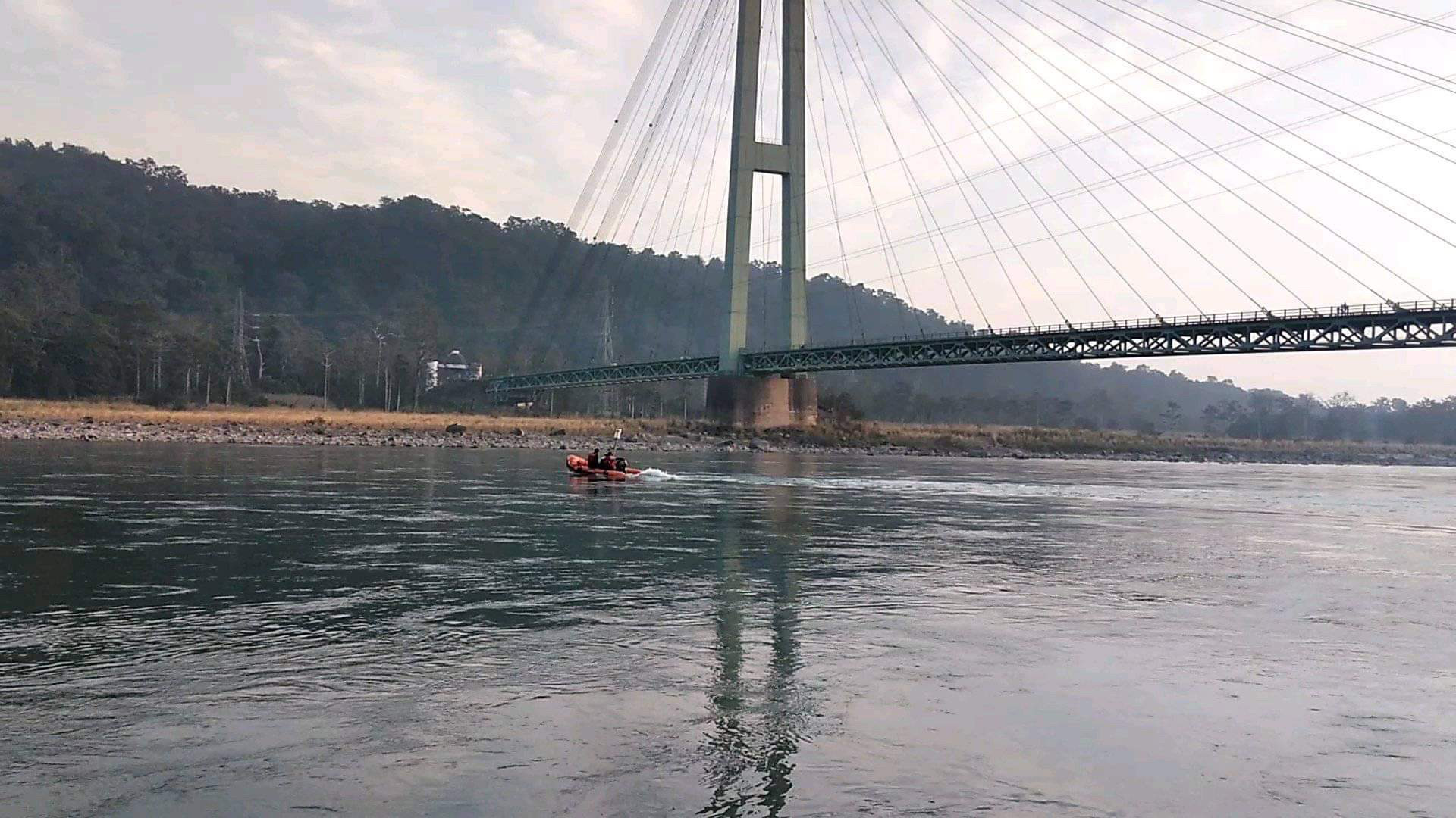
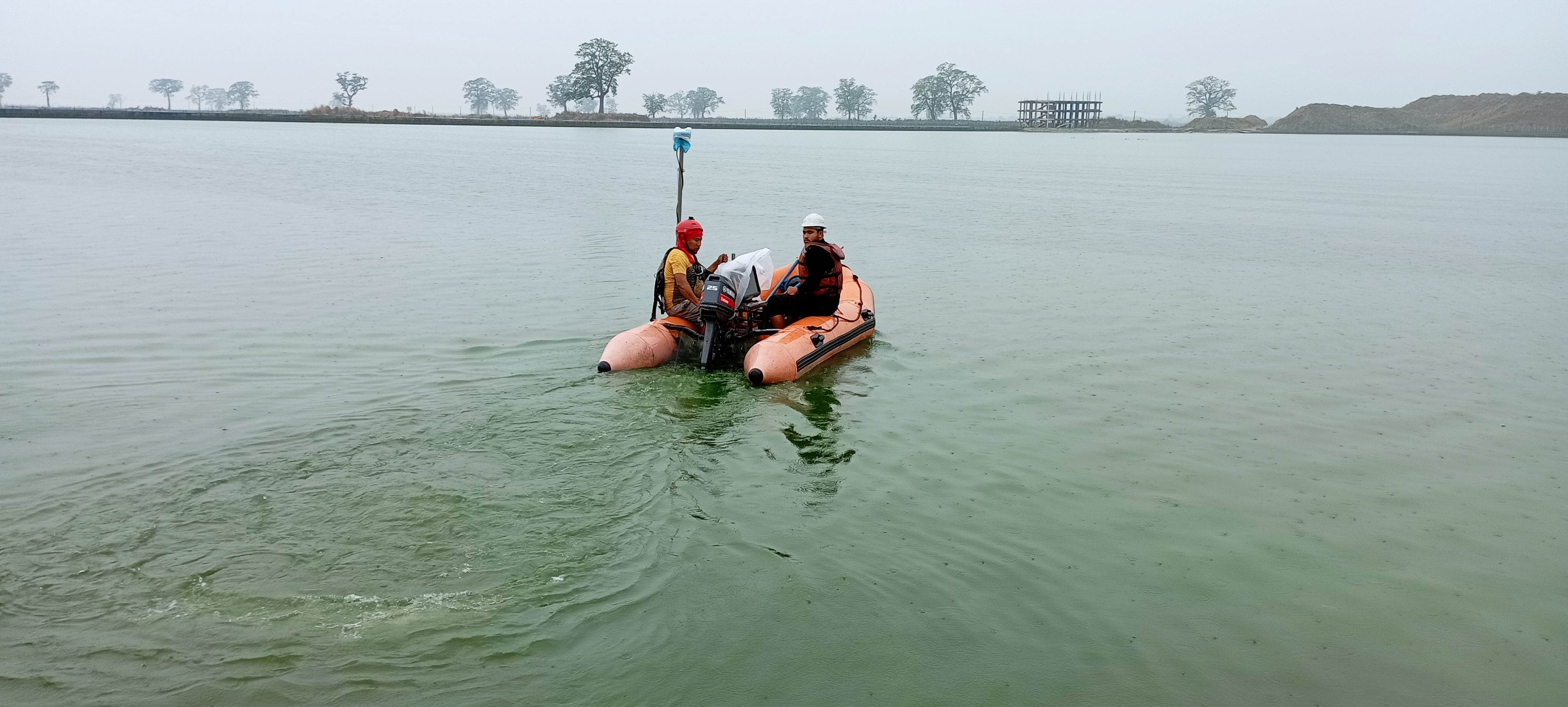
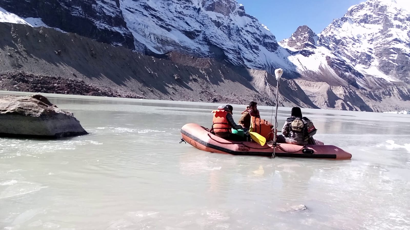
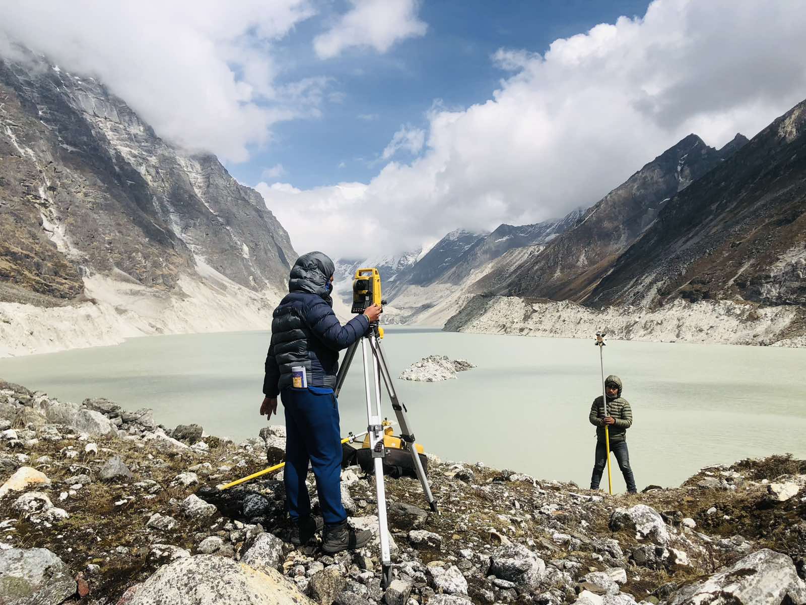
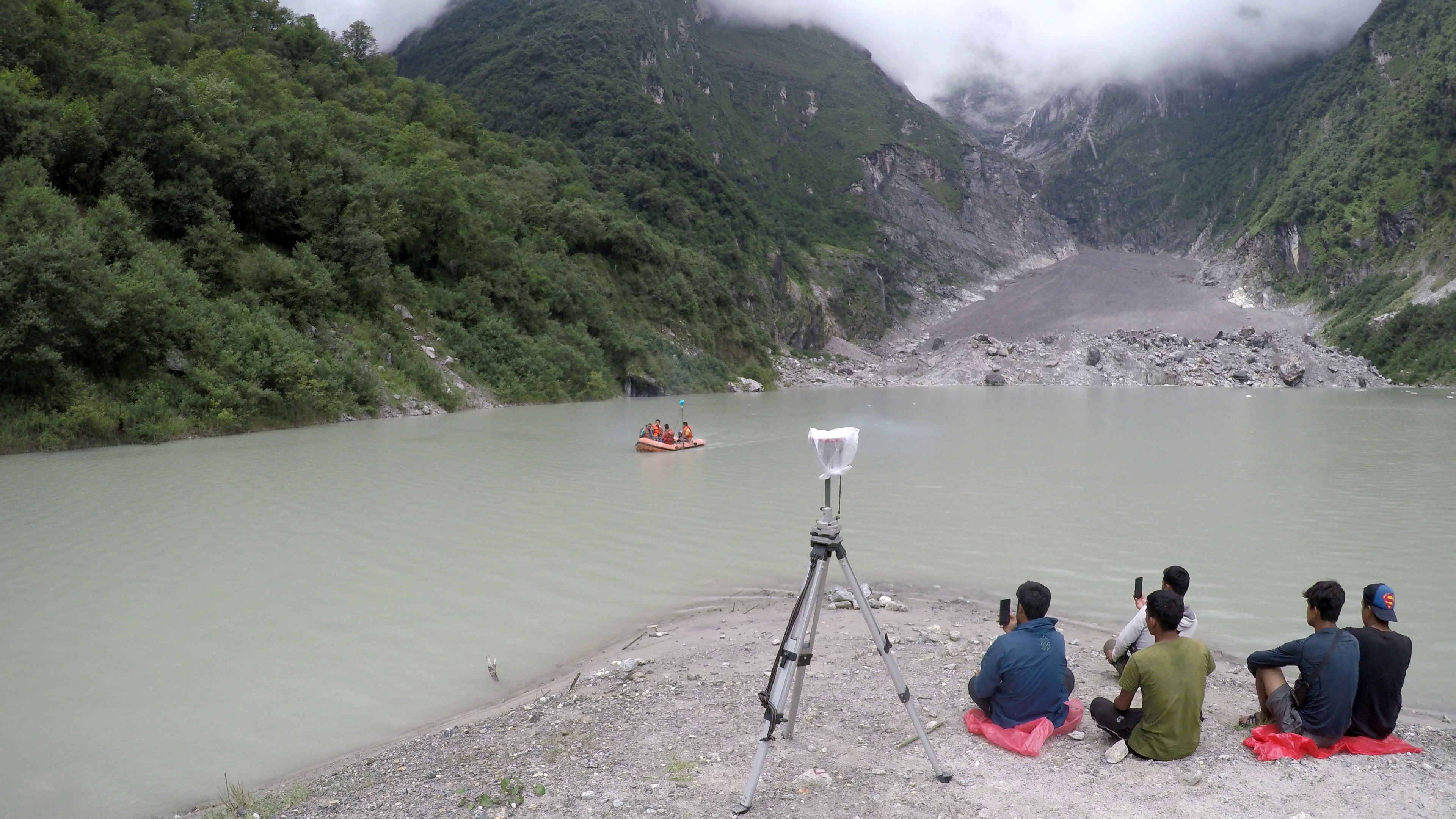
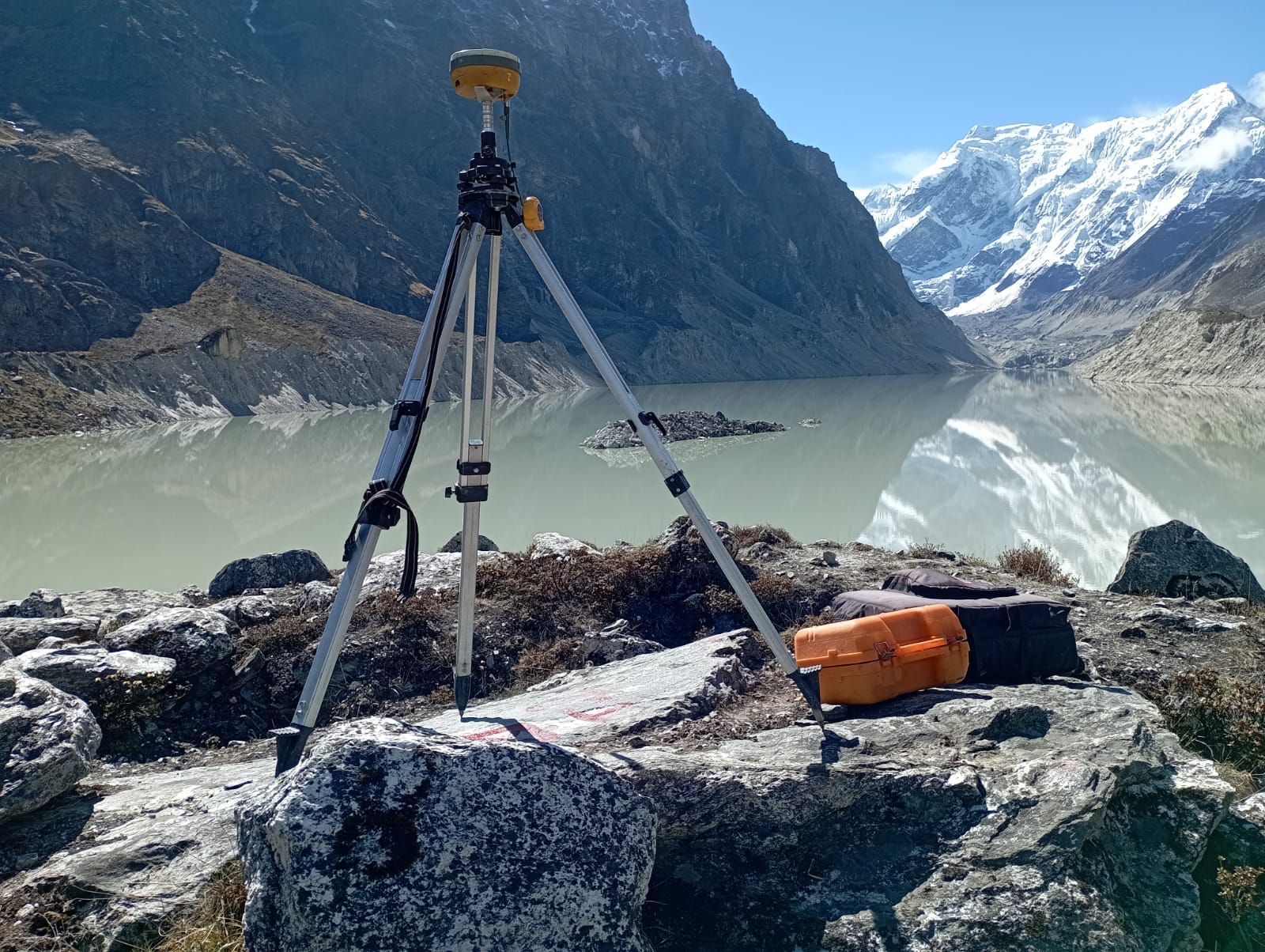
High-resolution riverbed and lake bottom mapping using single-beam and multi-beam echo sounders combined with GNSS positioning — producing bathymetric charts, channel cross-sections and sediment volume data for hydropower intakes, reservoir sedimentation studies and river navigation planning.
Related Photographs


Scroll to see more
Interested in Bathymetric Survey?
Tell us about your technical challenge — we will respond within 48 hours.
Get in touch
info@ies.com.np · +977-1-5269776