Surveys & Investigations
Topographic Surveys
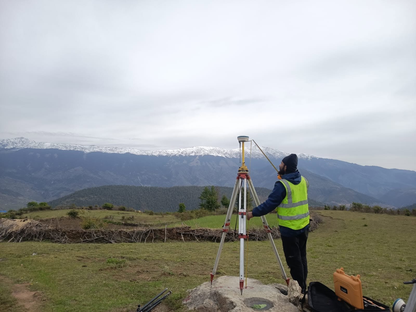
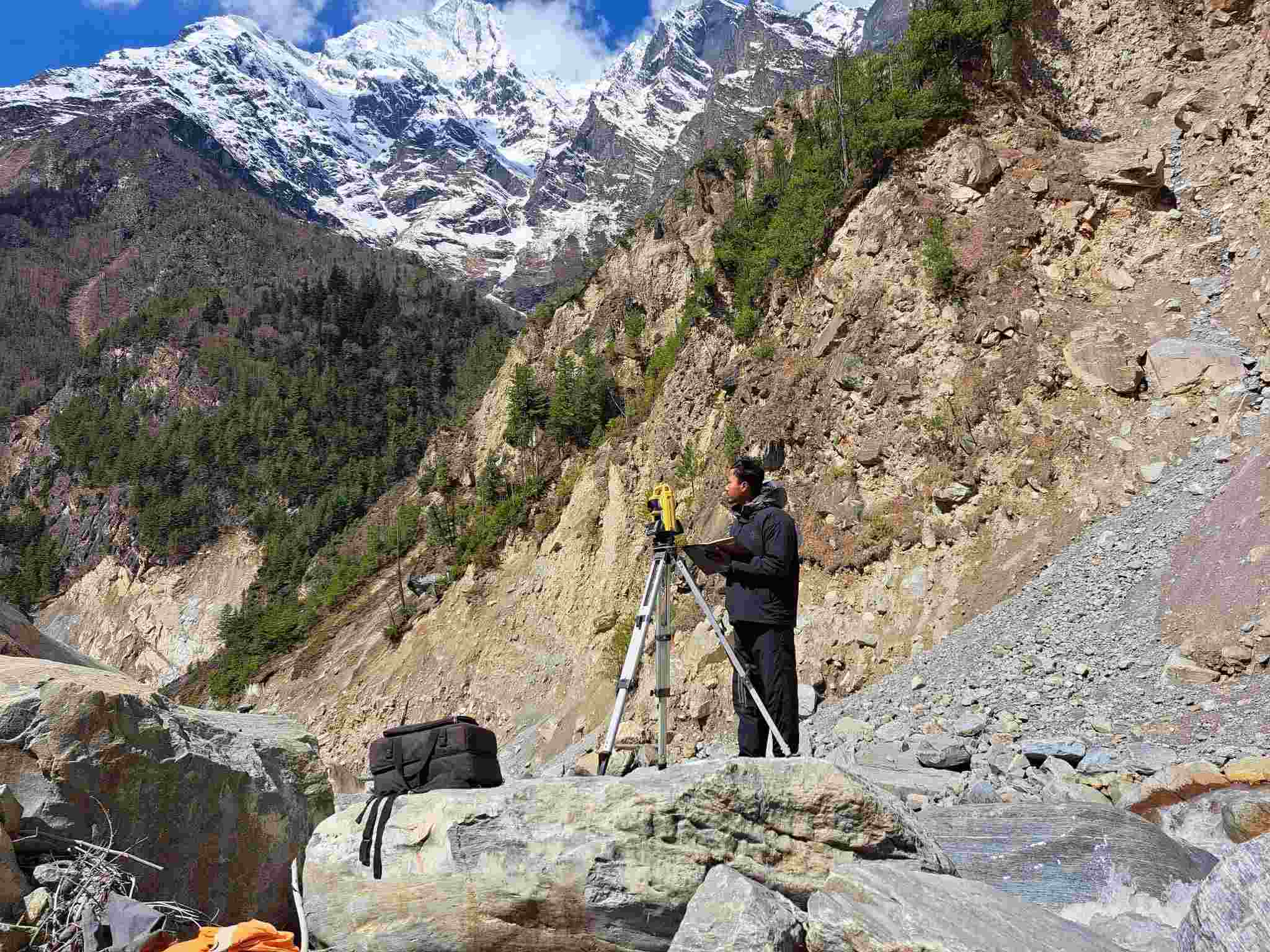
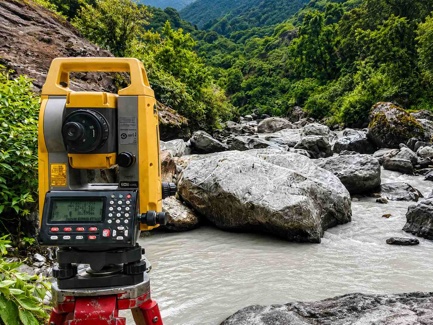
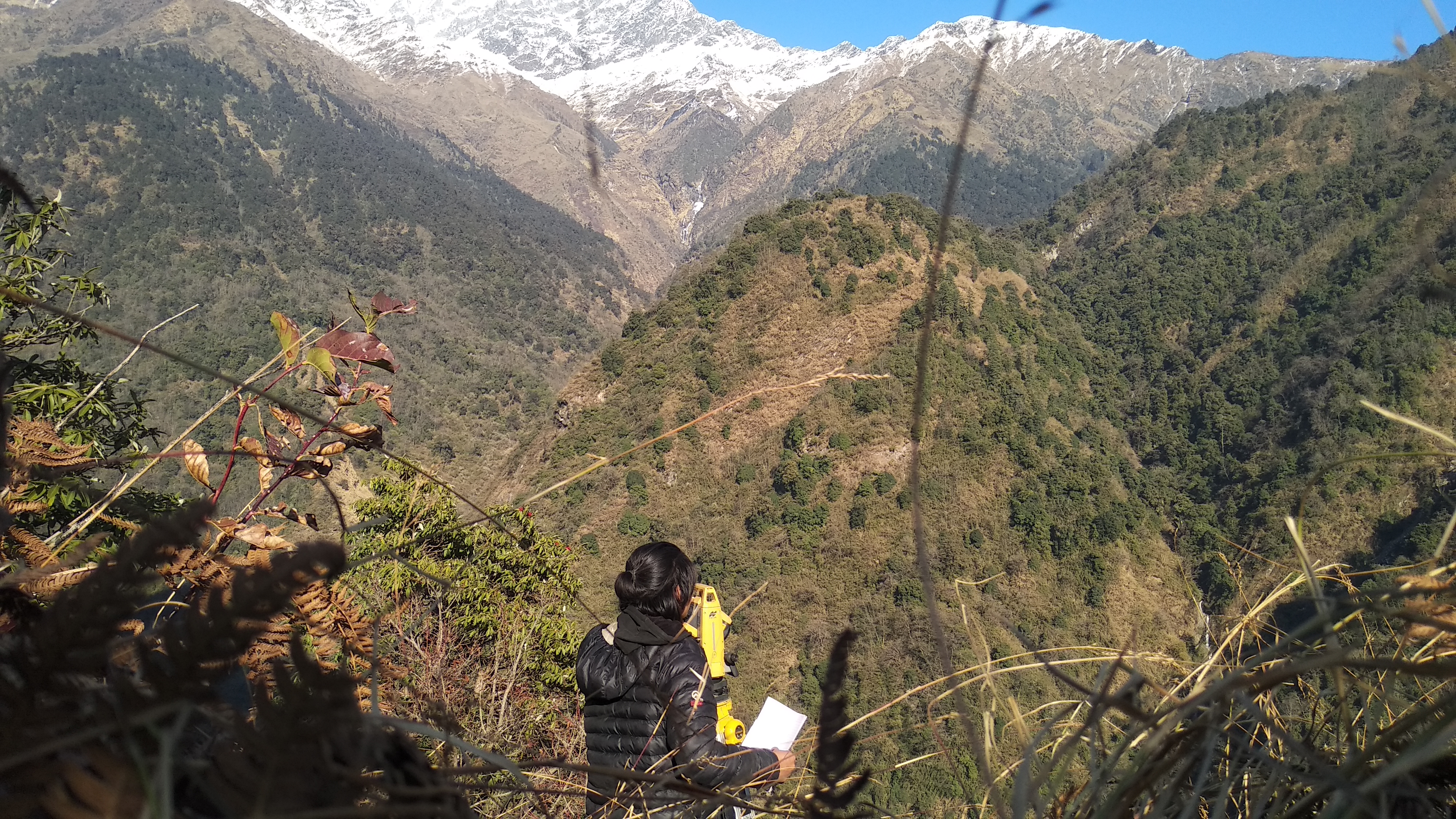
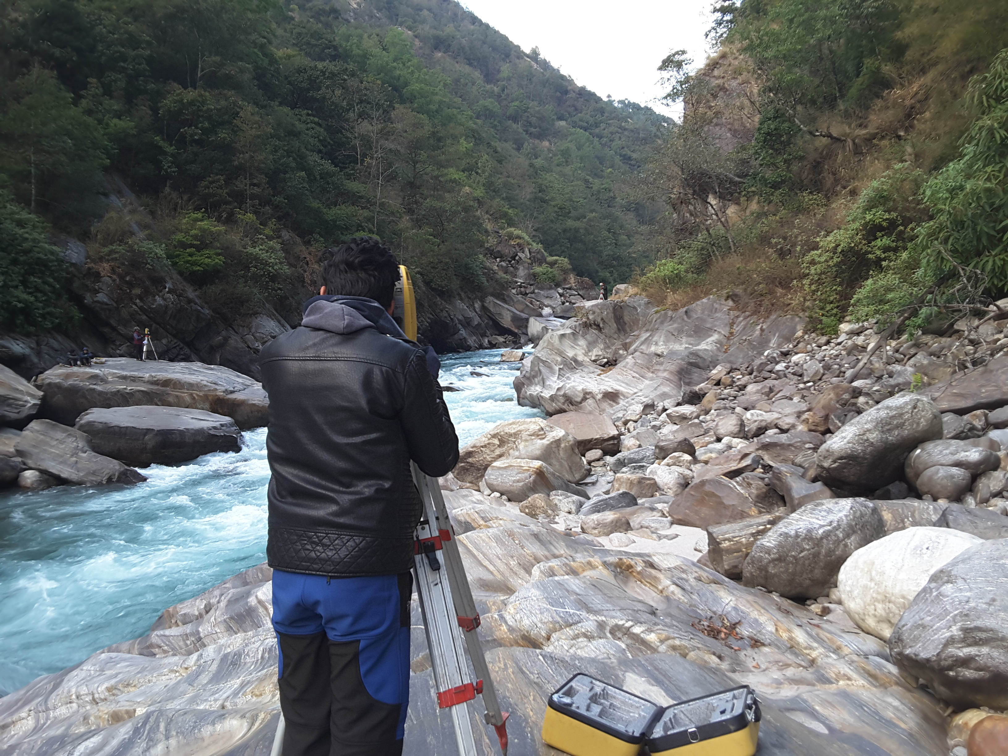
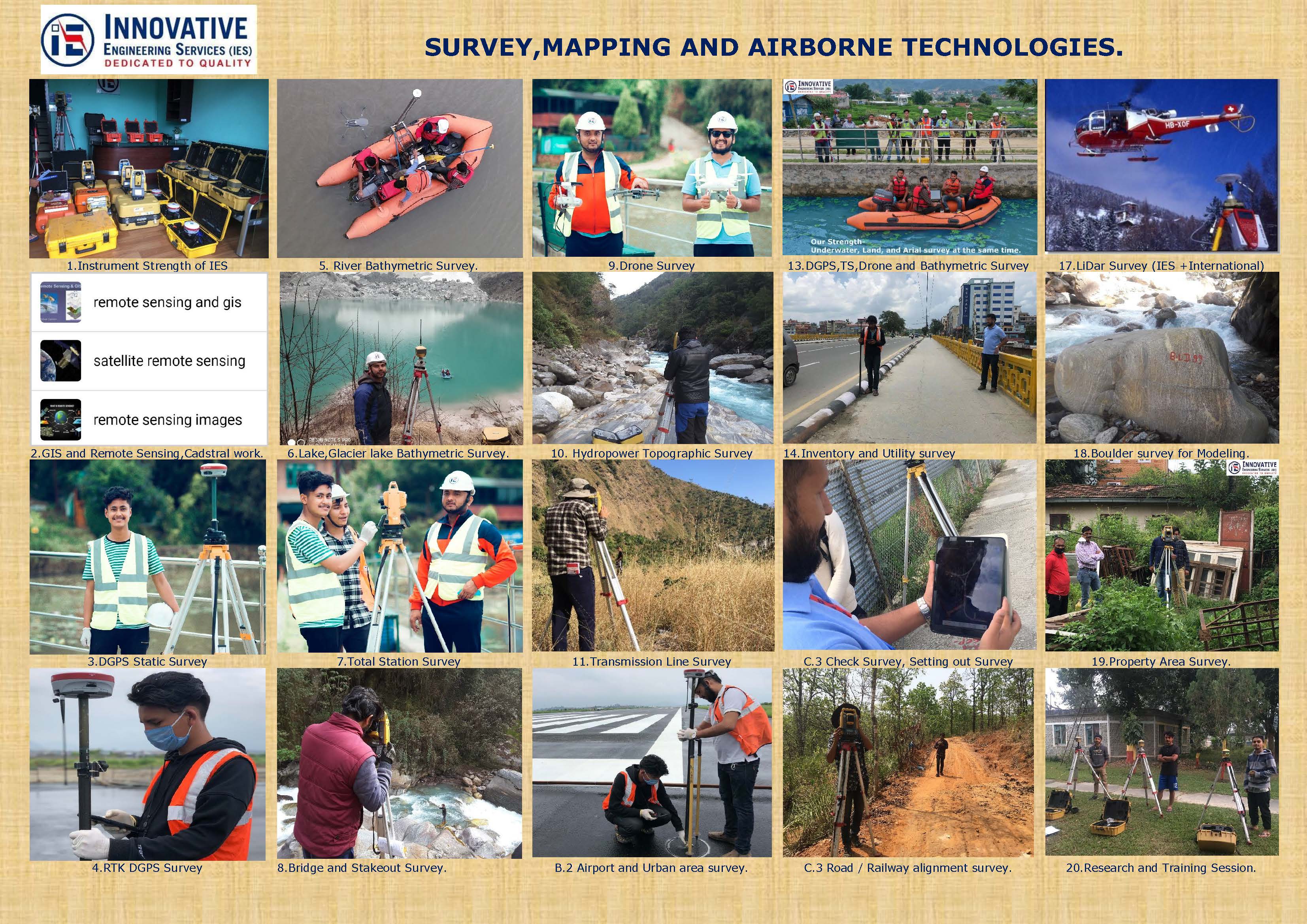
High-precision topographic data acquisition using total station, GNSS, drone photogrammetry and terrestrial LiDAR- producing DEMs, contour maps and engineering survey outputs for infrastructure design, floodplain mapping and terrain analysis across mountain, hill and river corridor environments.
Related Photographs
Scroll to see more
Interested in Topographic Surveys?
Tell us about your technical challenge — we will respond within 48 hours.
Get in touch
info@ies.com.np · +977-1-5269776